This 82-mile loop begins and ends in Sisters, OR. It crosses the Cascade Mountains twice with a variety of contrasting but scenic landscapes along the way.

We start following the byway on US 20/OR126 which will take us over Santiam Pass. Just past the 6,436 foot cinder cone of Black Butte, a side road leads to Camp Sherman.

A cool spot along the Spring-fed Metolius River, Camp Sherman has been a favorite summer retreat since the homesteader days, when the wheat farmers of Sherman County came to fish and escape the high-desert heat after the wheat harvest. Our first stop is a short trail to a scenic viewpoint that overlooks the Metolius headwaters.


Camps were built all along the river.

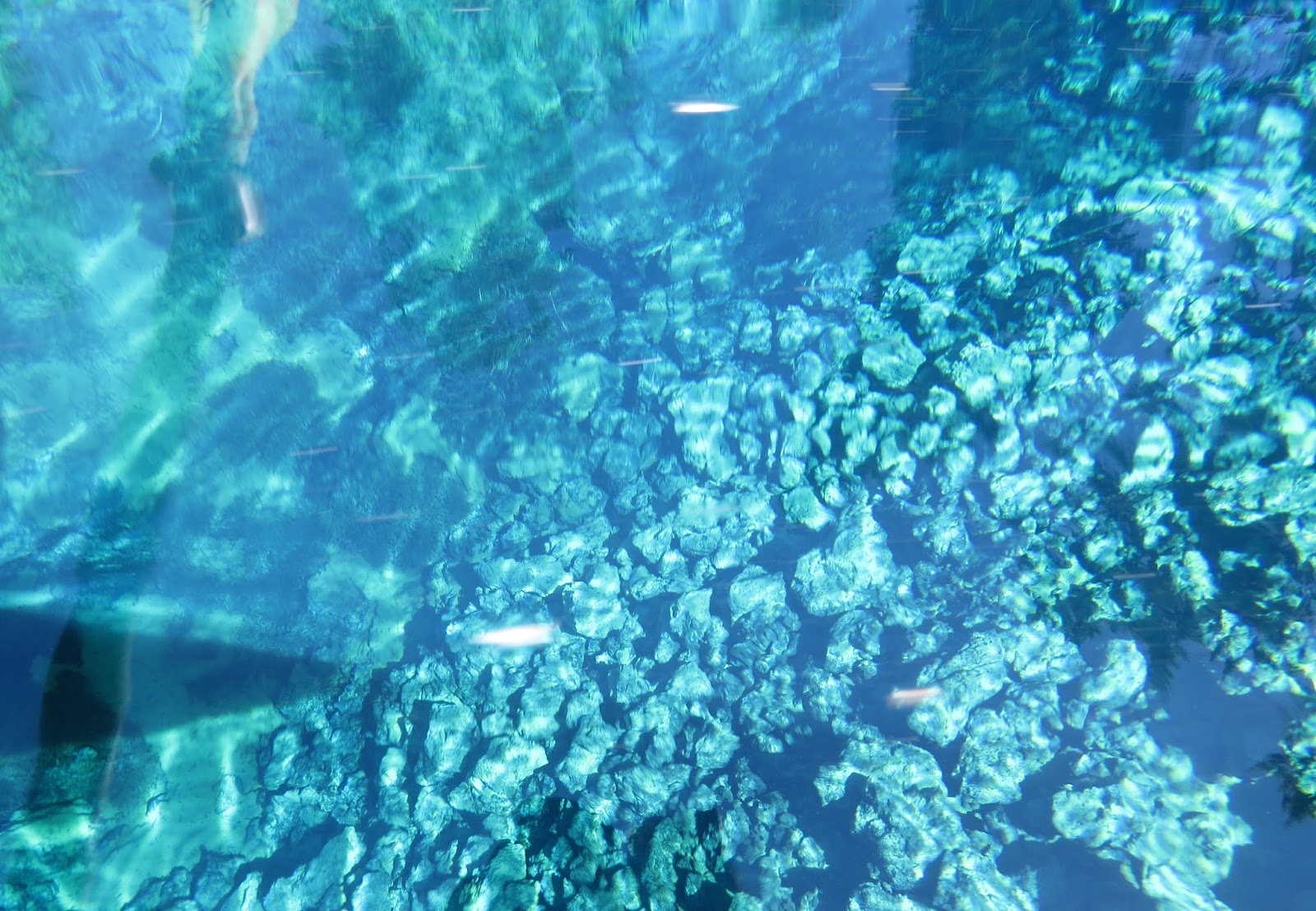
Metolius River across from Camp Sherman store.


A few miles beyond Camp Sherman is the Wizard Falls Fish hatchery.

You have to cross this old one-lane wooden bridge to get there.


The fish nursery...where eggs of several different fish species are hatched.


Our next stop is at Suttle Lake. I was tempted to put the kayak in here, but I had another lake in mind for that.


And there's a lot to see above the water too.


There were Great Blue Herons...aren't there always?

But this American Dipper was a nice find.

He was busy doing what dippers do.


Just downstream from Koosah Falls is a volcanic oddity. The river disappears underground through lava tubes and reappears 3 miles beyond into a pool of iridescent blue. Unfortunately, that trail was closed due to a fire in the vicinity.

But thanks to the internet we can see what it looks like. It is called Tamolitch Pool, aka the Blue Pool.

When I came through this area earlier this summer, McKenzie Pass was still closed due to snow, but now we can drive it.

Starting up OR 242, the McKenzie Highway. I did not stop to hike to Proxy Falls because the parking lot was full, and it was getting too hot to hike anyway, especially for Thistle.

There is also a hike along Scott Road, the original pass through this area, but I skipped that too.

The byway switchbacks steeply through an area known as Deadhorse Grade, climbing 1,200 feet in just 4 miles. The forests give way to a huge expanse of lava that stretches for 65 square miles. It's one of the most recent and most remarkable example of volcanic activity in North America, the result of eruptions from Belknap Crater about 2,000 years ago.

A sad historical note...

Approaching the summit through the lava field.

An outstanding view of two of the Three Sisters Volcanoes...North Sister and Middle Sister.


At the 5,325 foot summit of McKenzie Pass we stop at the Dee Wright Observatory, built by the CCC, and named for the crew's foreman who died just a year after it was begun in 1934.

A paved walkway leads up to the observatory. I left Thistle locked in the car with the AC running.


There are large windows and smaller viewing ports which frame each of the mountains that can be seen.

This is Belknap Crater seen through one of the smaller ports.

Each one is labeled.

Or you can climb to the roof of the observatory for a 360-degree view.

You can see what I mean in this video that starts with Belknap Crater and ends at the Sisters.
Over the pass, there was one more overlook at Windy Point. This is Mt. Washington beyond the lava field.

From there the road leads back to the town of Sisters where I was camping.