Well of course there are scenic byways in Idaho too, and I found one that coincided with my route through the southern part of the state. Thousand Springs Scenic Byway roughly follows US 30 south of I 84 from Bliss, ID to Burley, ID. It also follows the Snake River along that route.

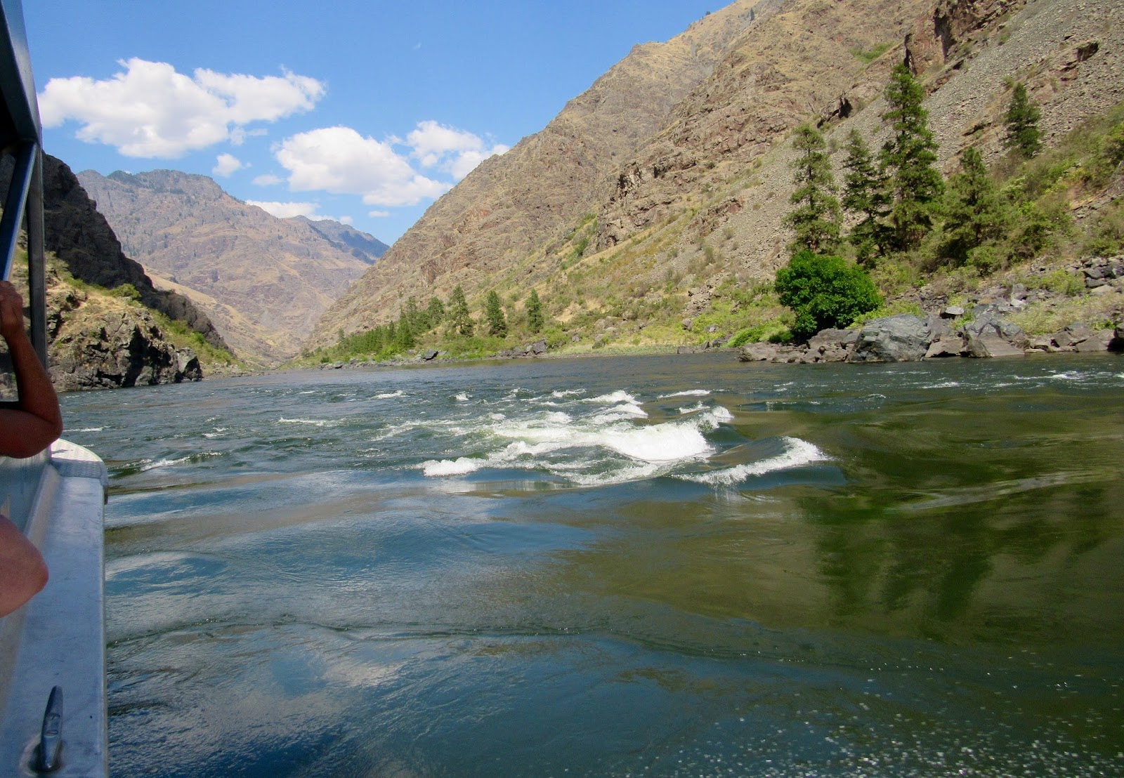
I did not stop at all the points of interest, but I saw the high points. My first stop was at the Snake River Canyon Overlook, just outside of Bliss. This canyon was born of fire and water and reshaped by one of the largest floods in geologic history, so says the sign.

There are ancient fossil beds on the bluffs across the river. I did not visit that site, nor the museum in Hagerman that displays fossil exhibits.

I did stop at the Byway's namesake...Thousand Springs. Waterfalls that sprout suddenly from the wall of Snake River Canyon here were long a puzzle to geologists.

Now scientists believe that their source lies 150 miles to the northeast, where the Big and Little Lost Rivers vanish into the lava beds that cover much of the region.

Increased in volume by melting snow and seepage, the underground streams course through the porous lava until they reach the canyon and plunge into the Snake River.


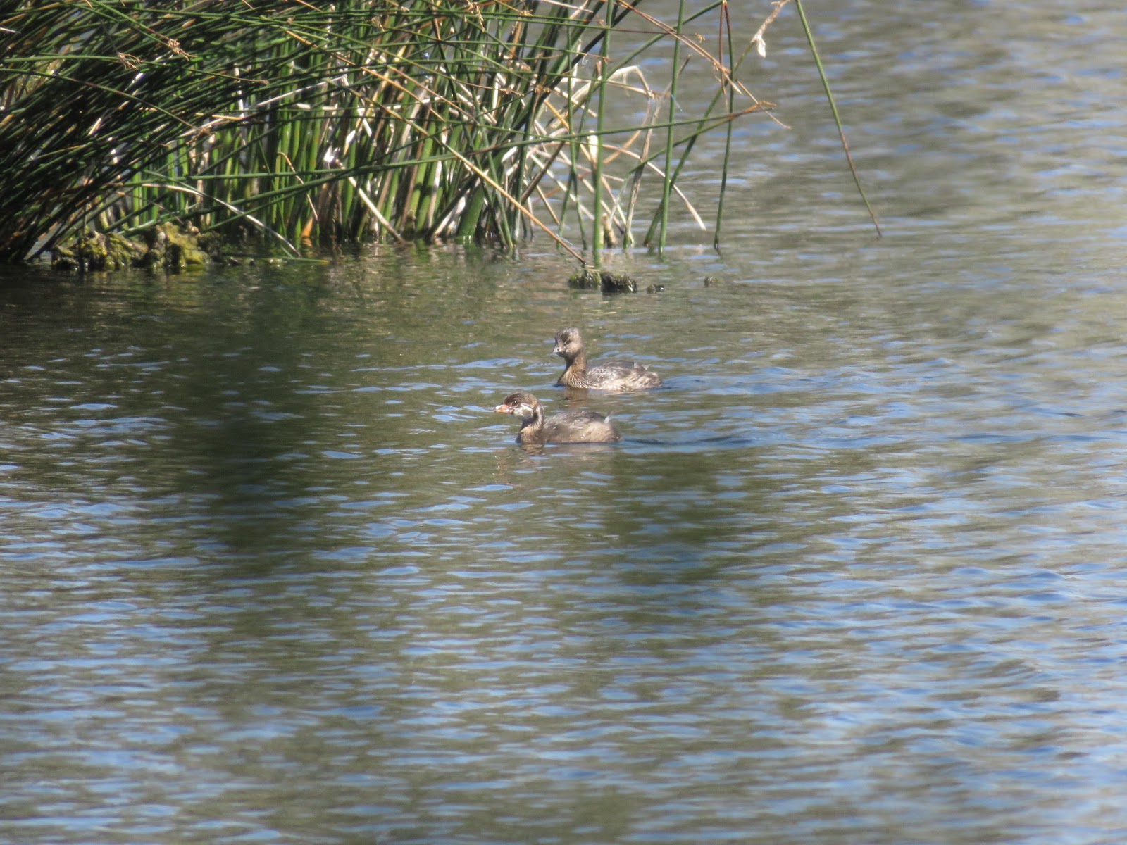
Nearby along the river is a wildlife refuge and a couple of fish hatcheries. I stopped at this wildlife viewing area.

There were a few varieties of waterfowl out there...Pied-billed Grebes,
Geese and ducks...

Hagerman Fish and Wildlife viewing area.

From there, I turned south off the byway to go to my planned campground. I drove through about 10 miles of farmland.

I saw two of these old shepherd's wagons displayed at a couple of farms.

And then the flat farmland gave way suddenly to a rocky gorge. My Allstays ap that I use to find campgrounds indicated two here...Balanced Rock Park that looked like maybe tents only, and a County Fairground RV park with hookups right beside it. I was following the coordinates for the Fairground.

Descending into the gorge with interesting rock formations.


My GPS told me to turn left down there...hmmm, doesn't look like a fairgrounds.

Nope, it's the county park, and a narrow road in. I ended up staying here and it was a great find, but more about that later. The actual "balanced rock" is a little farther up the road.

The facts about the rock.

There are no formal trails up there, but looks like people have made their own. I didn't because it was hot and the grass had stickers.

Balanced Rock

The road was narrow going into the campground. I stopped and asked a picnicker about the fairgrounds. She just shook her head. So I checked out this free campground and decided it was a nice place to spend the night. I had to unhook the car to turn around and face out, though. Pay attention to the hole in the bank across from my RV. I wondered what kind of critter made that hole.

I had been thinking of staying at the fairground for a week with hookups to get me through the Labor Day weekend. I looked on my map and figured out the fairgrounds were 140 miles away in Pocatello, lol. Allstays really messed that one up.

But this was a lovely find, a nice breeze and shade in the gorge.

All the sites were along the creek on one side. There were several picnickers on Sunday, but only one other camper overnight.

In the morning I found out the hole in the bank belonged to a badger! Cool!! He walked right by my RV allowing me to get good photos from a safe vantage point.

"Want to see my other side?"

I read this about badgers' dens: "Dens and burrows are a very important part of the badger's life. A badgers usually has lots of different dens and burrows. It uses them for sleeping, hunting, storing food and giving birth. A badger may change dens every day, except when it has babies. Badger dens have one entrance with a pile of dirt next to it. When a badger is threatened, it will often back into a burrow and bare its teeth and claws. It may then plug up the burrow's entrance."

The badger followed a narrow badger path at the base of the rocks and headed towards what I assume was another of his dens.

Second badger den?

Meanwhile the morning sun was shining at the top of the gorge.

You can make up your own name for this formation.

Some morning birds were perched up there...a kestrel,

A starling and a pigeon.

On the road again, heading to the Fairgrounds in Pocatello, I stopped at the end of the Scenic Byway...Hansen Bridge over the Snake River.

View of the Snake River Canyon from the wayside.

View of Hansen Bridge...and then we crossed it.

This poster tells about the building of canals diverting water from the river for agricultural purposes.

It is haying season in southern Idaho now, fields and fields of hay being harvested. Those barn-sized covered mounds are filled with bales of hay.

And I passed many large trucks loaded with baled hay.

And fields of bales still waiting to be picked up.

I found the Fairgrounds with plenty of RV sites available and paid for a week, so I'll have to see if there's anything interesting around here to do.