I followed this scenic byway on US 26 from Vale, OR to Bates, so far. There is a lot of history in this area, thus many historic sites along the route as well as the scenic beauty of the route. So the name is fitting.

Thistle wanted me to post this picture of a marmot we saw in Vale.


Most of the fields I passed were growing hay. One interesting farm was growing fields of different varieties for seed. I recognized a field of timothy and one of alfalfa if my memory is correct.


It's a nicely laid out park with level sites, $11 a night, but no hook-ups.

There are several hiking trails and interpretive signs about the former lumber company town. This is a view from one of the trails.

And a view of the day-use area.

Thistle, of course, was beside himself because the park has an enormous population of voles.

A family of voles outside our window.

Signs tell about the park's efforts to control the vole population, but I can't see that it's working yet. They are cute, though.

The only things remaining of the lumber mill and town are the mill pond, seen here,

And these two tall trees and a lilac bush that once graced the front of a home.

The museum in Prairie City had these photos from the town of Bates and the Lumber Mill.

One trail circles the mill pond where we found Red-winged blackbirds.


And a lonely Mallard.

Wildflowers were abundant.


And then the rain came and the temperature dropped.

A cool morning hike on one of the trails.


I stopped to change a hearing-aid battery. Thistle thought I had a treat for him.


One section of the campground is for bikers. this is a designated scenic bike route too, and a group came in while I was here.

Biker camp.

Fish ladder by the mill pond dam.

Fog in the chilly morning.

Thistle and I took a day trip to see some ghost towns and learn more history. We will be traveling on the Elkhorn Scenic Byway today.

We are heading toward the Powder River.


And the town of Sumpter.

The Sumpter Valley Railroad was built to haul the logs and lumber to and from the mills.

This is the Sumpter Depot. A train still runs excursions on the narrow gauge rails from here, but not today.

And this is the old gold dredge that changed the landscape along the Powder River for miles and miles around.

Another view of the dredge.

Snow in the mountains.

Lots of old rusty mining equipment around.

The Powder River.

The biggest by-product of the dredging are the long piles of rock tailings left behind. A trail takes us through some of the tailings located here.


You can tour inside the dredge too. Signs describe how the dredge scoops up soil from the river bed, separates and keeps the gold, and spits out the rocks on the other end, all the while creating its own pond as it moves along.

We continued on through the almost ghost town of Sumpter.

This vault is all that remains of the old bank after a fire.

Do you see the gold bars inside the vault?

Again, most of the businesses are closed.

The City Hall and Fire Dept. share a building.

This store had gas pumps and was open, so I filled up the car. You never know where you will find gas up here.

A sign about the boom and bust.

A map of the Elkhorn Scenic Byway. We are in Sumpter where the star is. We will go as far as Granite, another ghost town, and then turn on the road to the Fremont Power House. We will follow that to Olive Lake...and possibly kayak.

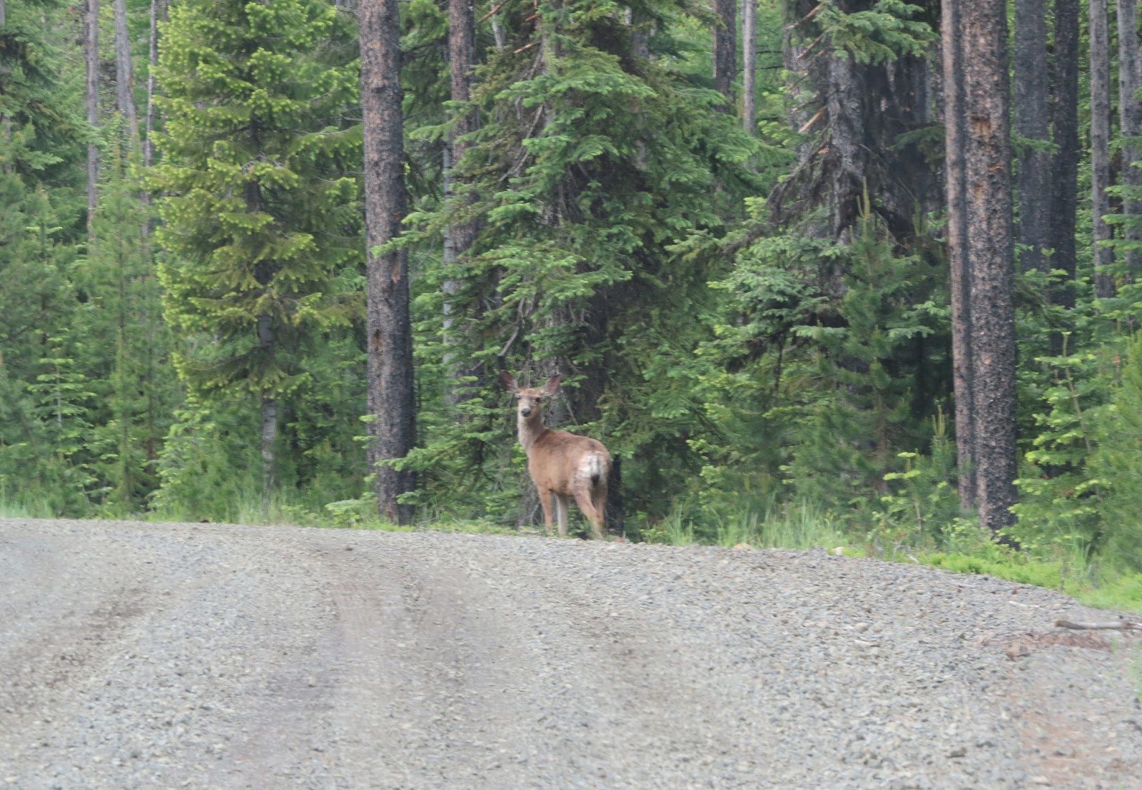
Just outside of Sumpter we saw the first of many deer crossing the road that day.

Gravel road along here.

A roadside spring.

A mountain meadow.

The locals call these piles of tailings that go on forever, the "China Wall."

We are coming into the town of Granite.

"Desolation at its Best"

The history of Granite.

The entrance to Granite.

The Outback is the only business open, but I didn't stop.

There is a mural on the side of this building that advertises towing services.

Some of the homes in Granite.


Frank's Place

There are others up the hill, but I turned around here.

There are a couple of side streets with old buildings too.


More about Granite's demise. "The mines now outnumber the people."

Our next stop is the Fremont Powerhouse which was built to provide power to the mines in the area.


This is one of the old mines...Red Boy Mine, a claim that began in the early 1880s.

The mine was greatly expanded through the years, and in 1900 the owners started the Fremont Power Company. Water was piped from Olive Lake 8 miles to the electrical plant not far from the Red Boy. The electricity powered this mine as well as all the other mines and towns in the area.

The Fremont Power House

Power company housing.

Timeline of the powerhouse.

This describes how water was piped from Olive Lake to the powerhouse.

Portions of the pipeline can still be found.

On we go up the dirt road toward Olive Lake. I stopped when I saw this big outcropping of rock with a trail.

Of course I followed it.


Continuing on...

Lots of deer up here. Must be a hunter's paradise.
We passed some of the pipeline that carried water to the powerhouse.

We are 13 miles from Granite.

I didn't see a single car on the way up here, so I was surprised to see a lot of campers in this campground. It was the weekend, so maybe that's why.

Olive Lake is beautiful, and if it had been warmer I would have put the kayak in, but wind chills had to be in the 40s-50s, and I wasn't dressed for that. Elevation here is 6000 ft. This lake was created by glaciers which formed a natural rock dam. The power company expanded the dam making the lake bigger.

So I decided not to kayak and started back to Bates.

These orange settling ponds are an example of how various organizations and landowners are trying to correct the effects of old mining activities. The settling ponds are created to catch the excess metals and acids flowing out of the old hard rock mine on the hill; preventing those metals and acids from entering the nearby stream.

They are working to restore the quality of the streams while maintaining the history of the mines.

More of the China Wall...

And more deer...

A last view of the town of Granite.

We pass some of the group of bicyclists.

View from the mountains.

More rusty mining equipment in Sumpter assembled in a "Mining Museum."

And we come to another ghost town...Whitney.

I found this picture of the lumber mill at Whitney in the museum in Prairie City.

All that's left of Whitney are some abandoned homes and farm buildings.

The remains of Whitney.


Notice the outhouse.


Another pull-off tells us about yet another town that no longer exists.

Nothing remains of Tipton here.

But I did find a photo of the Tipton Depot at the museum.

This Bald Eagle was a nice find.

And back at the meadow next to Bates State Park were a pair of Sand Hill Cranes!

We will continue our "Journey Through Time" in the next post.