Hidden in a small valley between Payson and Pine, AZ, Tonto Natural Bridge has been in the making for thousands of years.
The discovery was first documented in 1877 by David Gowan, a prospector who stumbled across the bridge as he was chased by Apaches.
Only two of the trails were open due to flooding on the other trails. We started with the Waterfall Trail...it is not your typical waterfall.
The entire trail is stairs...
I had never heard the term "travertine" before, but I was about to learn what it meant.
And I was about to become one with the waterfall...
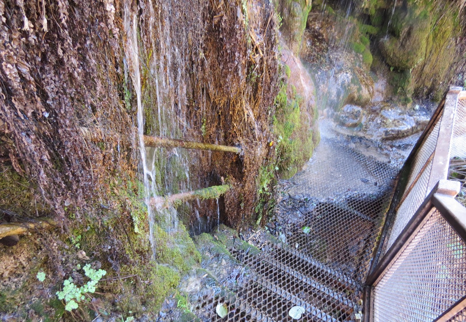
Travertine is a light colored calcerous rock deposited by mineral springs. Very slowly, layer by layer, the minerals build up on plant life and turn to stone...and the plants become sort of like petrified wood. You can see roots and mosses that have calcified in this photo.
Travertine formations hang over the trail.
We are approaching the area where water is still flowing over living plants.
At first I didn't realize that this was the waterfall I hiked down to see.
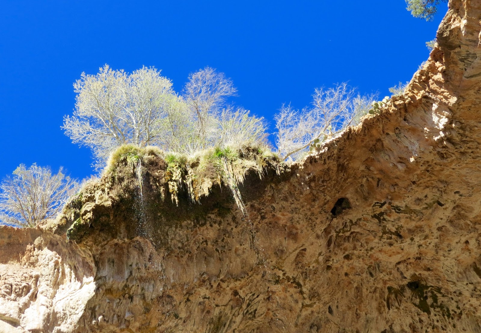
Eventually the rock will form stalactites and shallow caves.
And the vines and mosses will become part of the rock.
The "grotto" is a small cave formed in the travertine rock.
I suppose if I stood here long enough, I would turn to stone too.
The waterfall...
Travertine stalactites forming.
Old growth...
The stone I passed on the way down has more meaning now.
And it's a good thing we had this little lesson first, because it makes this information about the bridge much more interesting.
Tonto Natural Bridge from viewpoint #1. Pine Creek flows through it.
Close up of the travertine formations.
Viewpoint #2, from the opposite side of the creek reveals more of the travertine rock. You can see Viewpoint #1 from here.
Stalactites.
Viewpoint #3 shows the trail to the bottom and under the arch. We'll do that in a minute.
Viewpoint #4 shows the other side of the bridge. Note the trees on top with the overhanging roots.
Water is flowing down those roots and plants.
And constantly falling under the arch.
View in the other direction of the valley.
The Gowan Trail will take us to the bottom. Be glad you're not being chased by Apaches.
I met this nice couple from my home state of Vermont going down the trail.
The bridge we saw from above.
Pine Creek
Spring water flows constantly over the edge, and the arch is ever-growing.
The 400-foot tunnel measures 150 feet at its widest point.
Colorful lichens and mosses thrive in this moist environment.
The falling spray creates rainbows that come and go.
Back up the trail.
You can do it!