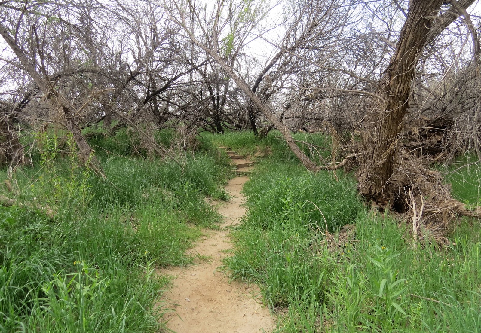
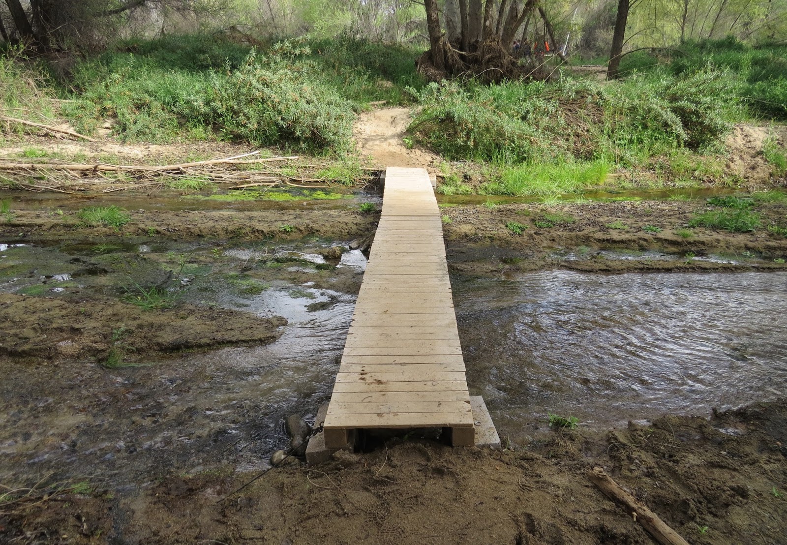
I spent a wonderful week in Salome with RV friend Anita. We went out most every day riding in the desert. Anita gave up her seat in her friend Leroy's Razr to let me ride, while she rode on the back of another friend's 4X4. I know I had the more comfortable ride!

There are many old abandoned gold mines in the mountains around Salome. We visited several of them on the trails we followed. I learned that the presence of quartz like you see in the picture is a sign prospectors looked for when searching for gold.

There were several in our group that went out each day.

The views were spectacular.

You can see the entrance of an old mine in the background.
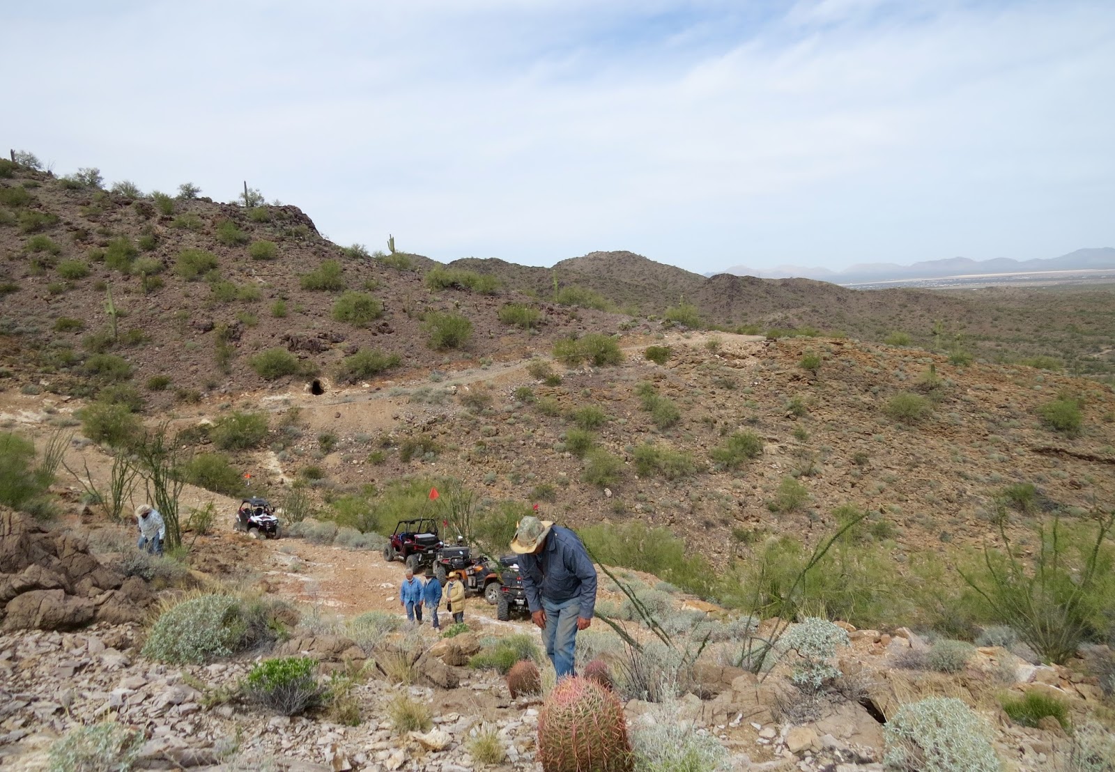
View from the mine.

Some mines are safe to enter a short way.

Others in our group ventured farther than what I would consider safe...

Me at the entrance of a mine. They all had names, but I have let too much time pass to remember them all.

View from one of the passes we went over.

Climbing.

This trail is not bad, but it's amazing the rocks and rough places these desert vehicles can negotiate.

Sometimes we went through deep washes.

An old cemetery associated with the nearby mine community.

I think they called this cactus cave. They've been watching this cactus grow inside the cave for a few years, until it reached the top of the cave and doubled back. I wonder what it will do when it reaches the cave floor again?

One of the trails..

I was lucky that Leroy was in the lead!

Some cacti were beginning to bloom. This is called Beavertail Cactus.


There's a rock shelter up there, used by miners. Do you see the rock wall in the middle of the photo? I hiked up there.

Rock shelter.

The view from there.

One of the rockier trails...

More cactus blooms.

This was the site of a granite quarry worked by a prison chain gang.

Wildlife on the rocks.

View from the prison quarry.

More wildlife...

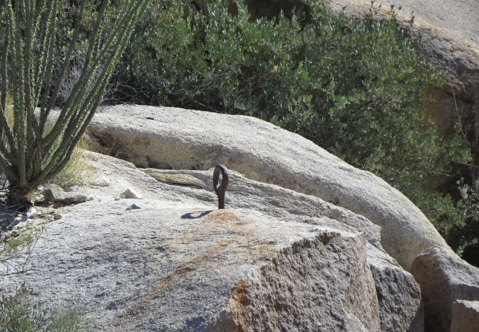
Prisoners were chained together through these eye bolts in the rock. They even had to sleep out there.

The prison guards used this shelter in the rocks.

Driving between two giant saguaro.

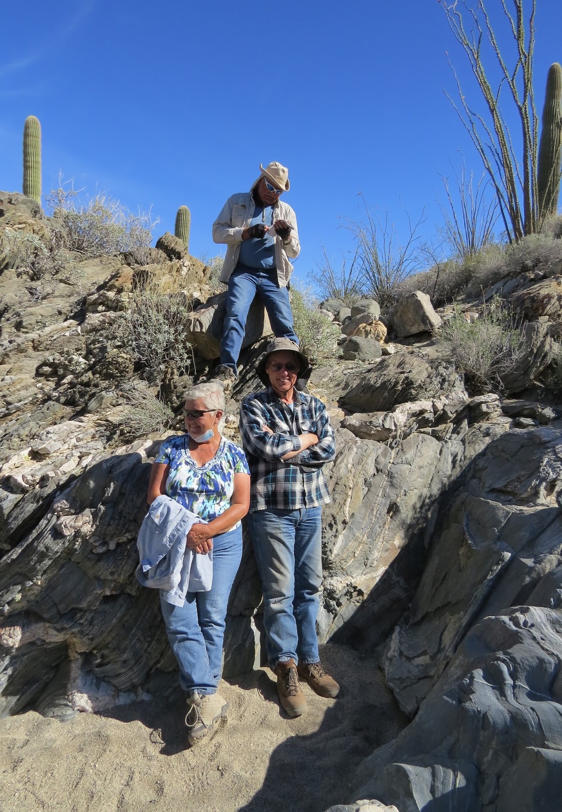
They call this place ribbon candy rock.

Anita and Leroy. The guy on top is checking out a geocache.
Another place had ancient petroglyphs on the rocks.

We saw free-range cattle.

And deer. I never got a photo of all the rabbits we saw.

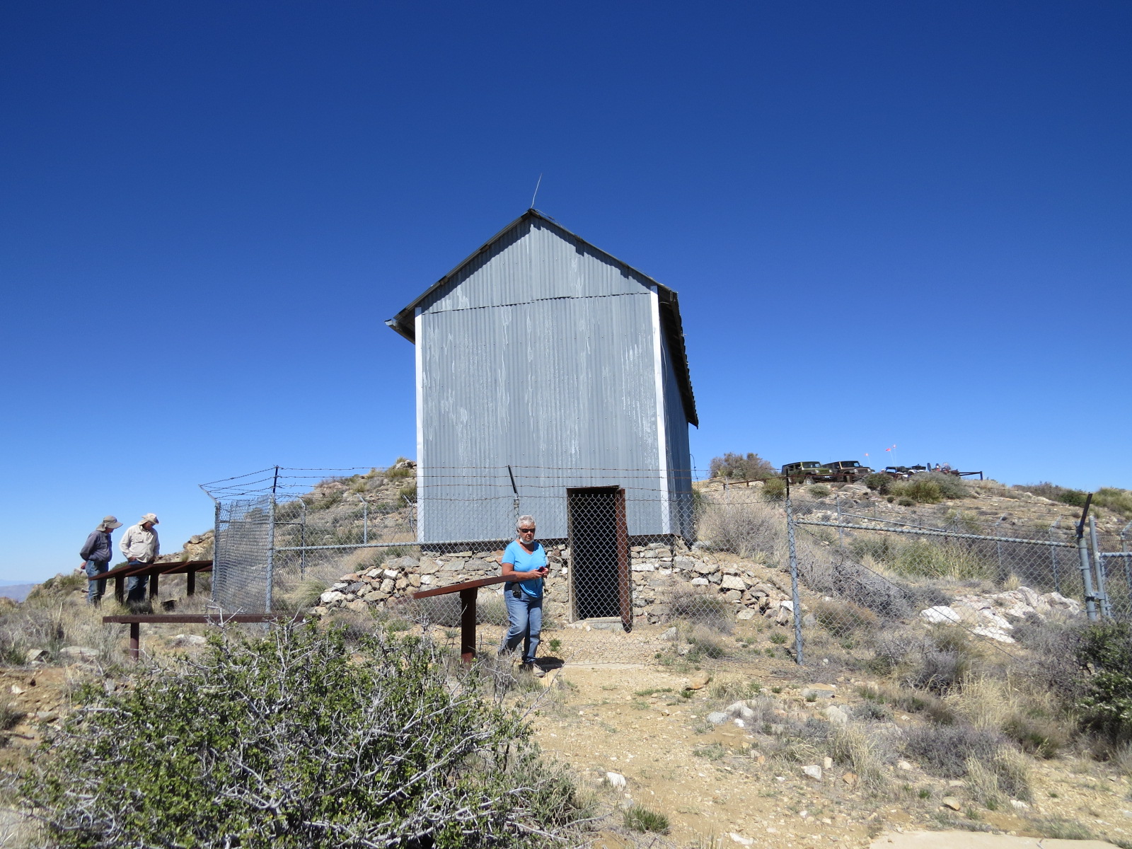
Perhaps the best ride was to the top of Harquahala Mountain to see the old Harquahala Peak Smithsonian Observatory. It is an all-day trip by Razr.

It takes a while just to get across the desert to the base of the mountain. Then you start to climb.

And climb...

Looking back...

You can see why Anita wears a dust mask back there. I needed one in front too.

You can see the switchbacks going up the mountain.

And you can see the valley below.


View from the top.

We ate lunch up there and admired the views.

About the Observatory...

Not much left to look at.
Another day, another mine...this one had bats! I took a million photos using different camera settings, but all I got was a couple ghostly images of bats.

This was the best shot and the only one that you can identify the images as bats, lol.

This "house" was built in a rock shelter and used by miners.

More cattle...

In the valley are huge alfalfa fields. The land that once was used to grow cotton and melons was bought by Saudis. They added irrigation and grow alfalfa here to ship back to Saudi Arabia to feed their herds of cattle.

Bales of hay waiting for shipment to Saudi Arabia. Cheaper than trying to grow it in their own deserts I guess.

I can't thank Anita and Leroy enough for this fun week. Leroy has a wealth of knowledge, and I learned so much about this area. I know anita was glad to get her seat back in the Razr.